MRP: Haymarket
From MarineLives
Revision as of 11:11, March 5, 2012 by ColinGreenstreet (Talk | contribs)
Haymarket
Editorial history
05/03/12, CSG: Created page
Contents
Suggested links
To do
Images
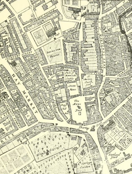
Morden & Lea, map of London, 1682:Haymarket extract
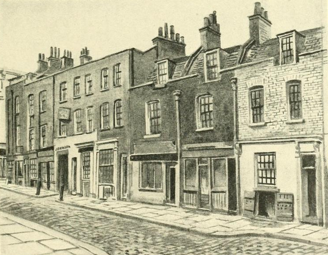
Whitcomb Street, Nos. 28-46, 1886
Image credits & copyright information
(1) Extract showing Haymarket and surrounding streets, from Morden & Lea, Map of London, 1682, Plate 1, reproduced in G. H. Gater and F. R. Hiorns (eds.), Survey of London: Trafalgar Square and Neighbourhood (The parish of St. Martin-in-the-Fields, Part 3), vol. 20 (London, 1940)[1]
- Copyright status of image and book is being checked, though Internet Archive states "XXXX"
- Sourced from Internet Archive
- ↑ Plate 1, G. H. Gater and F. R. Hiorns, Survey of London: Trafalgar Square and Neighbourhood (The parish of St. Martin-in-the-Fields, Part 3), vol. 20 (London, 1940)
- ↑ Plate 94, G. H. Gater and F. R. Hiorns, Survey of London: Trafalgar Square and Neighbourhood (The parish of St. Martin-in-the-Fields, Part 3), vol. 20 (London, 1940

