MRP: Carwar
Carwar
Editorial history
09/01/12, CSG
Contents
Suggested links
Images
Map
Insert Map of situation
Town plan
Insert Town plan
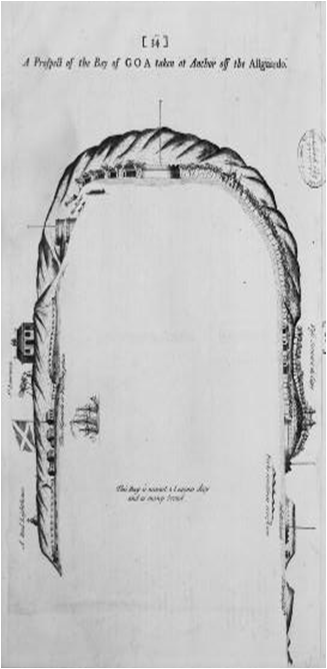
Carwar to Goa, from sea, detail, Anon, 1700-1799
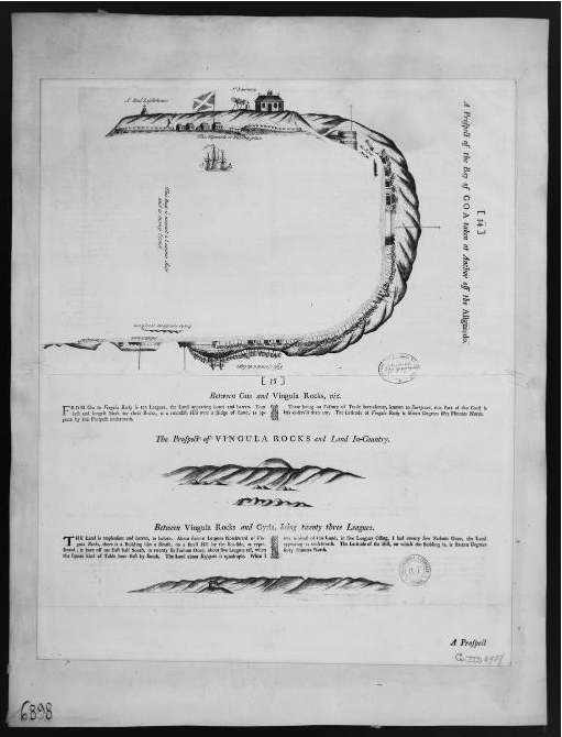
Carwar to Goa, from sea, Anon, 1700-1799
Image credits & copyright information
(1) Anon, 'Between Carwar and the port of Goa, a prospect of the bay of Goa taken at Anchor off the allguardo', English, 1 est. recto verso ; 54 x 44,5 cm, 1700-1799; Detail taken from larger image as in (2)
- Image is out of copyright
- Sourced from Bibliothèque nationale de France: Gallica.bnf.fr, for non-commercial use[1]
(2) Anon, 'Between Carwar and the port of Goa, a prospect of the bay of Goa taken at Anchor off the allguardo ; Between Goa and Vingula rocks, the prospect of Vingula rocks and land in-country, between Vingula rocks and Giria, being twenty three leagues ; A prospect from Gyria, or Vizendruke, belonging to Angria, in the Latitude of 17° 10'to Dunde Rajapore, belonging to the Sedee', English, 1 est. recto verso ; 54 x 44,5 cm, 1700-1799
- Image is out of copyright
- Sourced from Bibliothèque nationale de France: Gallica.bnf.fr, for non-commercial use[2]
See BNF non-commercial reproduction conditions
Town profile
Notes
Suggested image sources
Suggested primary sources
Suggested secondary sources
- ↑ http://gallica.bnf.fr/ark:/12148/btv1b5900595v/f1.item, viewed 09/01/12
- ↑ http://gallica.bnf.fr/ark:/12148/btv1b5900595v/f1.item, viewed 09/01/12

